Summary of your point
Everything the planning rules say about your plot: height, floors, depth, maximum floor area, homes, uses and parking. In 3D video and PDF.
Planning made clear, in 3D
Height, floors, buildable floor area, number of homes and permitted uses for any plot, site or property in Spain, from official data and explained in a 3D video. Your first summary is free and arrives in under 24 hours.
How it works
On the map, or give us the address or the cadastral reference.
With its official Cadastre boundaries: the exact plot, never the one next door.
The local plan in force at that location, article by article.
A video and a PDF with everything the rules allow, easy to understand.
Real case
A 194.45 m² terraced plot on urban land. We hide the address to protect the owner.
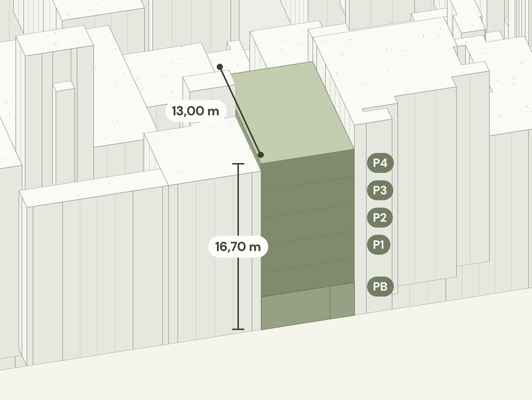
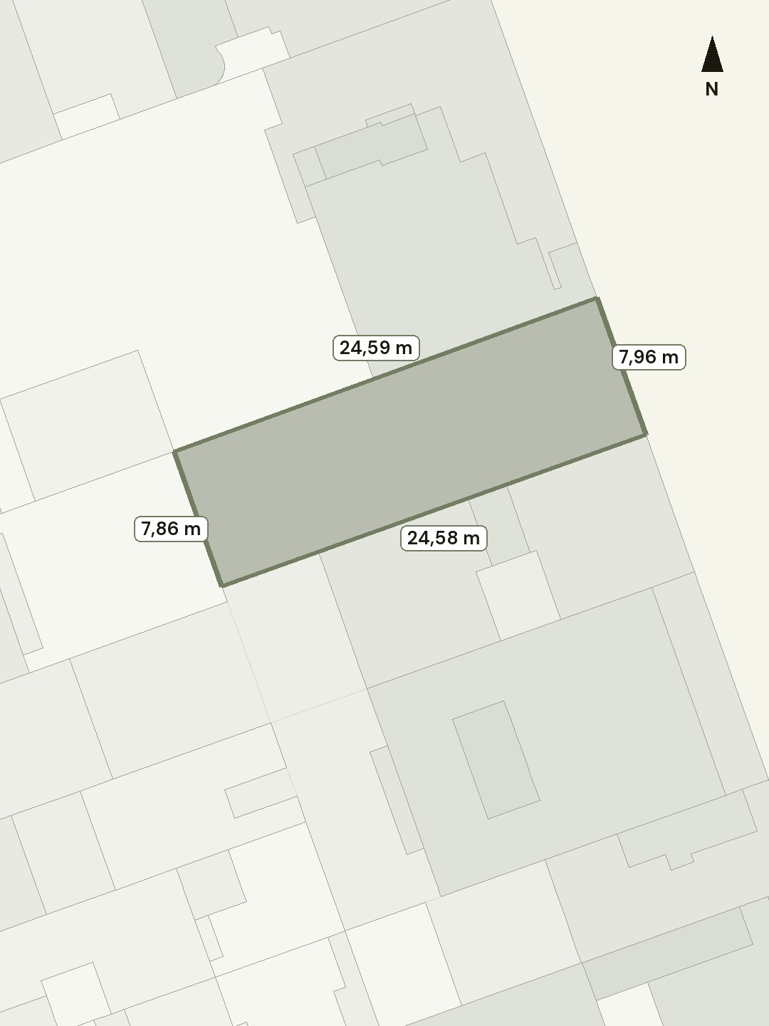
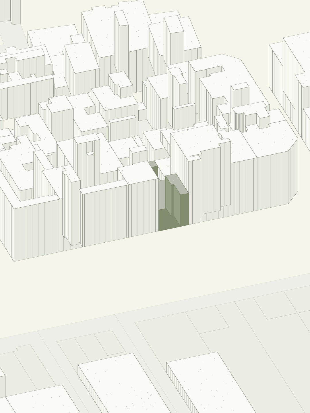
Every figure comes with its source and its article. The summary also covers the location, the neighbouring buildings, transport links and the plans affecting the plot.
I want the one for my pointWhat you get
Everything the planning rules say about your plot: height, floors, depth, maximum floor area, homes, uses and parking. In 3D video and PDF.
The summary tells you what the rules allow. The report tells you what is worth doing: options compared, special cases, verification and a clear recommendation.
Preliminary design, what it costs to build, what it is worth and whether it pays off.
If you decide to go ahead, the same team of architects designs the project and manages the works.
Cadastre and the planning in force, checked at the time of your request.
Everything can be verified: you will know where each number comes from.
They review and sign everything delivered with a signature.
Get your free summary